Showing posts with label #BeachWalks. Show all posts

Thursday, 24 March 2022

Bahamas - Ragged Islands, Little Ragged, Beach Walk, Lobster and Pizzas

 A walk on the windward side of Little Ragged. 3.8 miles.

Mike

Mike, me Karen and Duane
Mike and Penny
Later ashore for drinks, no sooner than Nicholas put the sun shade up, that the clouds came rolling in for a cool evening

A curious goat

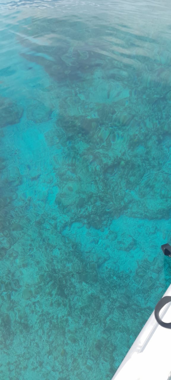
Next day we went snorkeling, the water clarity was amazing


Mike in the clear waters of the reefs south of Cocos

Nicholas cleaning his catch


I’m taking the vein out with a feeler

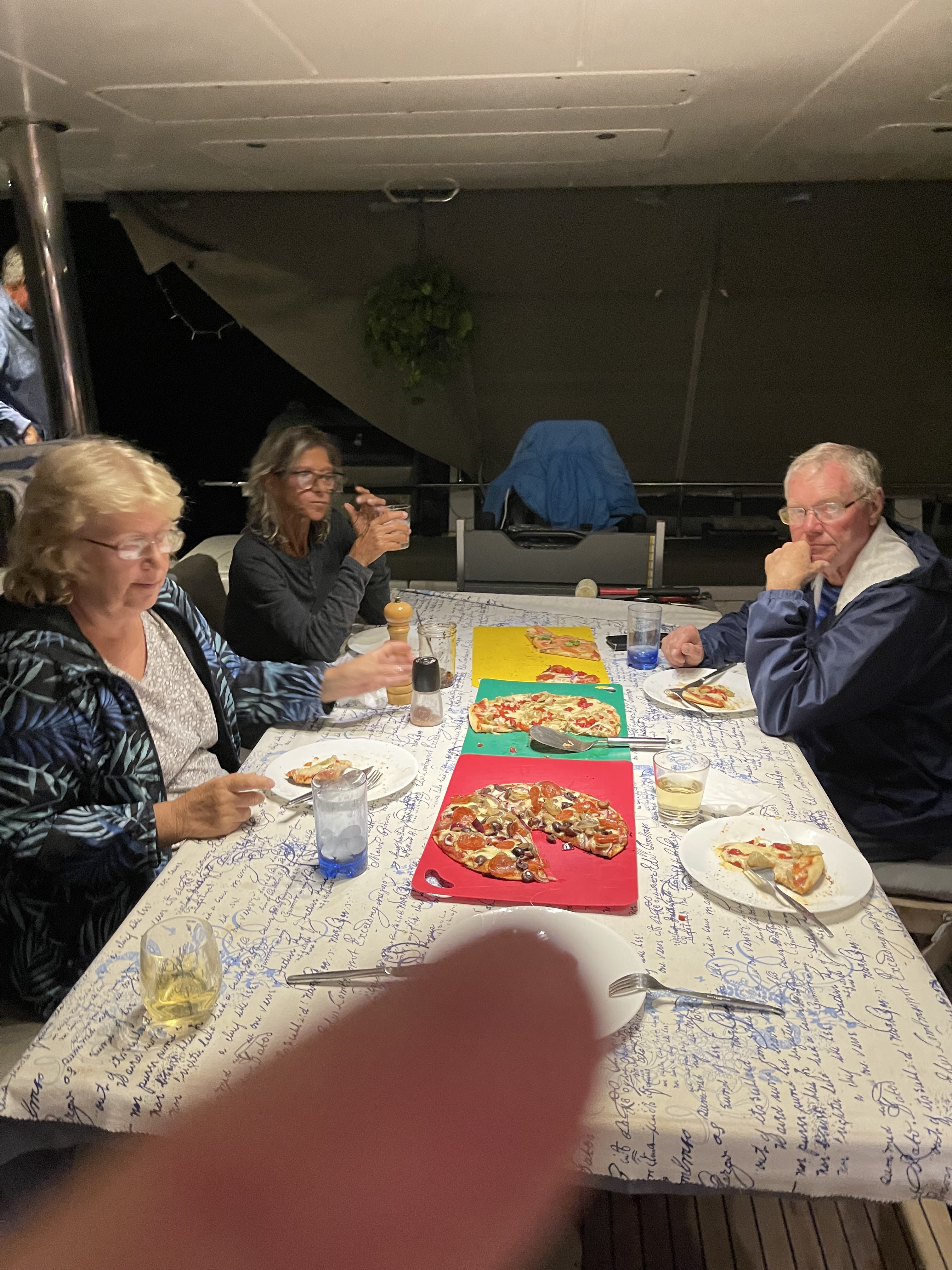
It poured with rain, and I made pizzas, on the BBQ
Nicholas having BBQ’d excellent pizza as he always does


Friday, 18 February 2022

Bahamas - Ragged Islands, Hog Cay, A Trail Walk with my new Apple Watch

Full Moon Rising 


A beautiful sunny, but windy day for a walk and some Personal Time Out


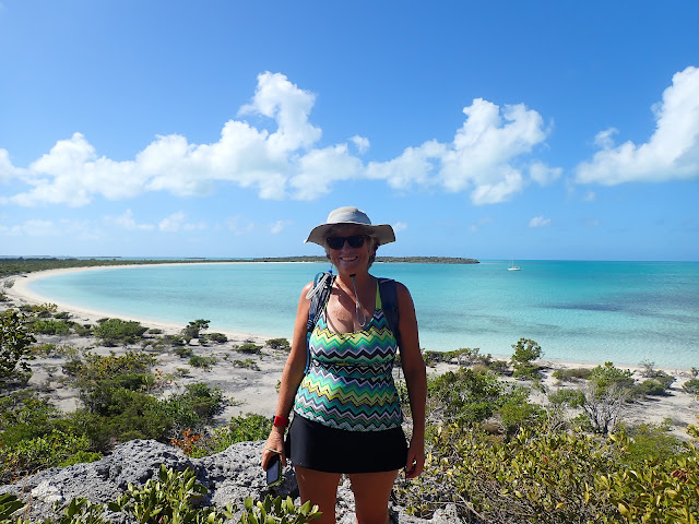
Over the island on the windward, Atlantic Ocean side, the bays are stunning

At the end of the Trail, where you jump down onto the beach, I was pleased to see the the Trail Markings I setup last year is still clear, as the End/Start of this Trail is was not previously apparent

Some of the coves trap rubbish washed ashore as well as lots of seaweed

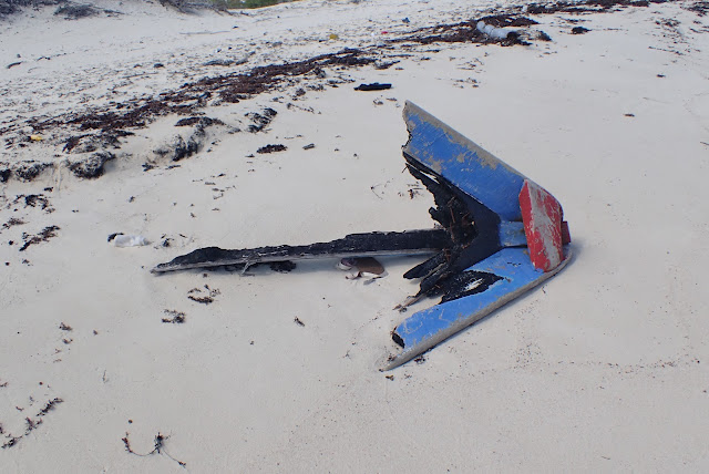
A part of a burnt boat bow

The arch. This piece of plastic piping has become jammed into the rocks 

Beautiful pink sand, made from the crushed red coral washing ashore, and a minute cowrie shell

Waves rushing in with a 20 knot wind

The Trail back to the western beaches is at the base of a ridge 

And around this pan of water. It was surprisingly empty given how full we have seen the other pans further south on Hog Cay and Little Ragged Island

A stone wall about a mile long - we have no idea what it is for, the goats jump right over the wall. Speculation is that previously the island must have been portioned off between the Owning Families

Unusual to find cacti on the island

At the end of the Trail on the Eastern Middle Beach
I carried this red Basket and bucket for the past hour from the Eastern beaches use as a Marker for the Start/End of the Trail

The walk from the End of the Trail along Middle Beach to our anchorage

This is a map of Hog Cay. The Red dot is my start and end point at the Cruisers Hut.
You can see the Southern Trail across the island, and the two definite bays (which I posted a photo of)
The walk to the north is where all the trash washes up, as well as Sea Beads, and Sea Glass.
You can also see the Pan which we walked past (water), and then back/south along Middle Beach back to the Cruisers Hut and the red dot where I left the dinghy.
The whole walk is 3 miles, and took 2 hours
Thanks Nicholas for my Apple Watch which allowed me to Track my Trail walk!
In addition to the Map, I also get all the data on my Heart Rate, Calories burned, number of steps, Trail ascent/descent - I absolutely love it!


Monday, 14 February 2022

Bahamas - Ragged Islands, Hog Cay, A New Connector Trail

Another day and another Trail Walk. We had heard the previous night at the Hut that Chris and Gosia of SV Alderbaron had cut and marked a new Trail. So we had to go and check it out.

The new Trail connects the Sojourn Trail to Lobster Bay, to an older Trail that crosses the island from Lobster Bay to the Bay overlooking the channel markers for Cut between Hog Cay and Ragged Island.

Along our Sojourn Trail, we stopped at the Lookout Point, it is just such a stunning view over Lobster Bay. 


Thanks Karen for the photo!

Arriving at the Channel Cut about 30 minutes later. In the distance in the photo you can see a ‘stick’ which is a channel marker for vessels using this Dog-Leg Cut to get from the Ocean onto the calm waters of the Bahamas Bank


The coast line after the bay above gets very rocky and there is no Trail, so we used another cross island Trail to get from Channel Bay to South Bay. However this Trail cuts across a Pan, which last year was dry. This year it’s filled with knee deep water and we had to walk across some very sharp rocks and through a lot of dry shrubbery to get around the Pan. There is no other route.

Across the Pan, its normal Trails, and well marked

South Bay is very shallow, and we were at Low tide

This lone Mangrove is trying its best to take hold in this shallow bay

Walking along the shoreline as it is low water


Another Trail and we’re across to Lobster Bay (remember the first photo overlooking this beautiful bay)


Along the way, in the shallows, we saw the biggest Pin Cushion Star Fish, I have ever seen. Only in a foot of water, my underwater camera could not pan out enough to get a photo of the whole starfish

Taken from above the water, we had to wait for the ripples to calm down to even get this clear a photo

Both Karen and I did not have a Clear picture of exactly where the New Connector Trail started and ended, so from Lobster Bay, we 


This is where the two Trails intersect, the Brown Rope shows the existing Trail across the island, and the Blue Rope is the direction of the New Connector Trail across to the Sojourn Trail


Once on the Connector Trail, it is wide open and direct, heading for the RHS of the rocks on the ridge in front 

Back across the Sojourn Trail, and down to our anchorage in Hogs Middle Bay

On Sunday afternoon, Raphael and his son Raphael came to visit. They had a boatload of Conch, which they cleaned as we all chatted, and a huge cooler box full of large Lobster


We have 28 yachts in the anchorage, most here as a strong NE wind is coming thru on Monday, and then I’m sure more yachts will arrive for Maxines Valentines Lunch which is on Saturday 19th.

With so many yachts, all going ashore to the Hut for sundowner drinks, we were happy to give the shore a miss, and enjoy the company of Karen and Duane for drinks aboard Sojourn.


Sunday, 6 February 2022

Bahamas - Ragged Islands, Buenavista Cay, Low Water Bay Trail


Another day, and another beach walk. Nicholas dropped me near the start of the Trail to Low Water Bay.
The start of the Trail is not well marked, as there are 2 markers on the beach, one of which goes no-where. After exploring around that marker, I walked the 100 meters to the next marker and as I neared it could easily see red markers in the trees just inland of the start of the Trail Starter marker

The Trail was wide and clear and well marked.


Along the way, I met up with Karen and Duane who were on the way back already. Thoughtfully they about turned and joined me to walk back (for them) to Low Water Bay 

On the Low Water Bay side, the start of the Trail is well marked


Overlooking the Low Water anchorage which is super in northerly or westerly winds


Random flotsam and jetsam that looked interesting


Back across the cay, I took a photo of the Trail Start marker - hopefully when I do the Trail again, I’ll remember the Start Beacon

Thanks Karen and Duane for the lift back to Meshugga. 
5 Star Uber driver 😂


The day ended with Karen and Duane coming to Meshugga for drinks, dinner and anther game of cards


Panama - LBM yet another month on the hard, and a visa run to Costa Rica, stuff happens

It’s been over a month since I last posted. As usual a lot has happened. As it’s approaching the festive season, I got busy soaking fruit in...