The days blend into each other. Boat chores, walks, snorkeling, boat improvements and maintenance.
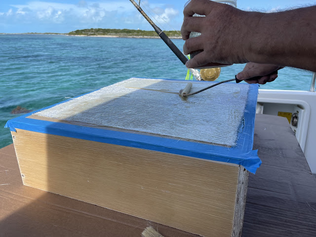
Nicholas making a Fibre Glass Sheet for fillets for the new additional Solar Panels he’s installing.
Full Moon rising on a perfect evening, with Sojourn
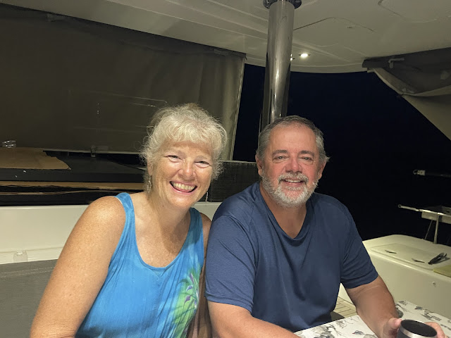
We had Karen and Duane of Sojourn over to Meshugga for dinner, and had a great evening. Thanks Karen for the lovely Spring Roll appetizers.
A rather large Front is passing over USA and impacting the Bahamas, which will bring Northerly winds even to us so far south in the Bahamas. Nicholas and I decided that we’d use those Northerlies and sail across to Great Inagua which lies SE of Little Ragged Island, about 140 miles, and a days sail. We left in the afternoon on Monday 9 Jan, and sailed overnight with a lovely NE breeze, so light that we only made 6 knots overnight increasing to 7-8 knots next day. The trip took us 23 hours.
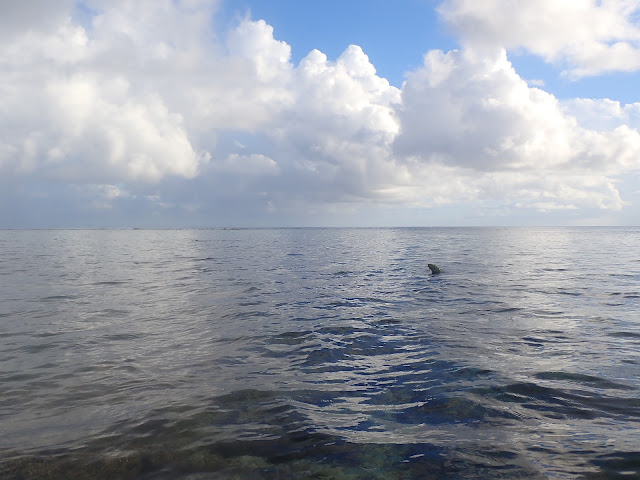
We went directly to the southern coast of Great Inagua to Molasses Reef, and with the excellent weather, sunny and light NE breeze immediately went for a dive.
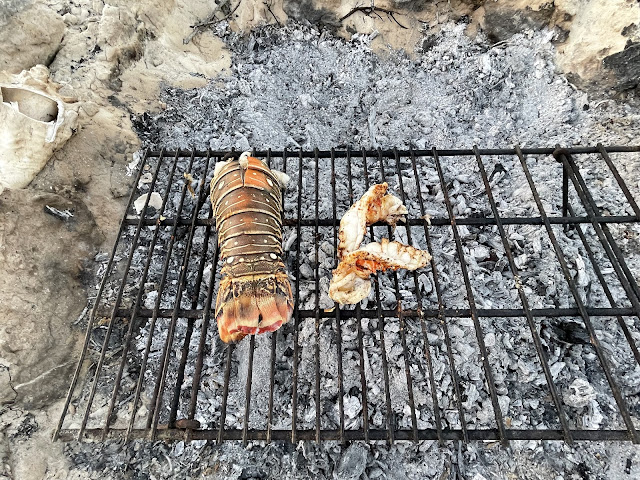
Nicholas was immediately rewarded with 3 large lobster each about 4 Lbs.
We stayed overnight on our anchorage at Molasses Reef and tried the same Coral Head in the morning,
The wind increased, and resulted in a bit of a swell so we decided to motor round to the eastern side of Great Inagua to Matthew Town, and we headed into the Harbor and tied up between two jetties.
The winds were predicted to go West at night, hence we’d tied to both sides of the jetties so Meshugga could ride the swells, as the harbor is open with no protection from the westerly winds and swell. The wind came through as predicted, but light (as predicted) and the swell was small. But still had disrupted sleep, as we were constantly up checking the swell and how Meshugga was fairing. By 7am, and with a rising wind and swell, we left the Harbor and again headed to the south coast, this time to a bay towards the eastern side of the south coast.
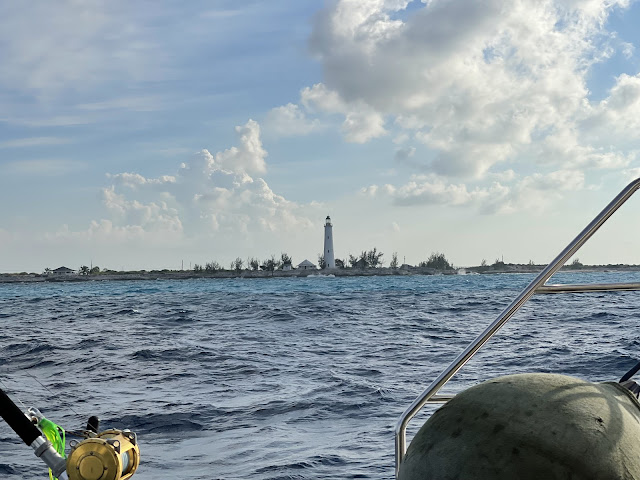
Passing the Great Inagua Lighthouse
We checked with our friends who had been to Great Inagua, and seems that none had been into Lantern Head Bay before. However C-Maps, based on the Explorer Charts and AquaMaps, had a proven track into the bay through the coral bank. Four hours after leaving the Harbor, we entered the bay under motors with me standing up the Mast at boom height for extra visuals. We entered at high tide, at noon with good sunlight.
The initial entrance is a wide 200 ft gap, with 6-7 meters depth. Thereafter the dangerous Coral Heads, two on Port and then one on Starboard were exactly where the Charts show them, and they were easy to see. FYI, C-Maps was the most accurate, but we had AquaMaps and Navionics also open as well for comparison.
We are now anchored in Lantern Bay Harbor. There is no development on the shores and we look forward to exploring.
The Front came through on Saturday night, and we had an Anchor Watch set, as it’s pitch dark with no lights ashore, and last thing we’d want is to drag onto the Reef and not even know that we are dragging….
The night passed uneventful with 20 knots NW wind, minor swell, and anchor holding perfectly. Today although sunny, a cold wind from the north is blowing. A day for lazing around, reading and watching TV, YouTube, and Movies and Reading.
